Digital route tools have become familiar trail companions, but a map and compass remain useful equipment for runners who know how to use them. Silva’s Ranger is a traditional baseplate model with features that make sense to examine alongside a paper map.
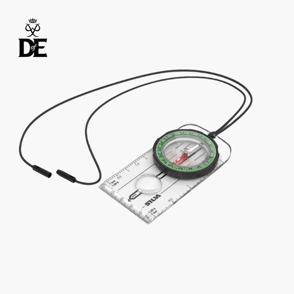
The Ranger includes a rotating housing, a declination scale inside the capsule and a magnifying lens. Map-measuring markings cover millimetres and scales of 1:25,000 and 1:50,000, with a detachable safety-release lanyard.
Match the scales to the map
The printed scale is useful only when it matches the map being used. Before an outing, check the mapping scale and practise measuring a few distances. Familiarity makes the tool more useful than simply carrying it to satisfy a checklist.
Silva also specifies a rubber grip and luminous markings that can be activated by light. Those details should be considered within a real navigation routine, including how the compass will be handled with cold hands or gloves.
Carry skills alongside the equipment
A compass is not a substitute for learning to interpret the terrain and map. Practise bearings in a straightforward area before relying on those skills on an unfamiliar or exposed route.
For outdoor retailers, the Ranger offers a practical starting point for explaining the baseplate format. Showing the compass on the correct map is more informative than discussing it in isolation. Storage should keep it accessible while protecting the map and avoiding interference from nearby magnetic items.
See Silva Ranger Compass specifications on the manufacturer’s website. Explore more Trail Running gear and stories on Outdoor Insight.